Snake River-Mormon Basin Back Country Byway
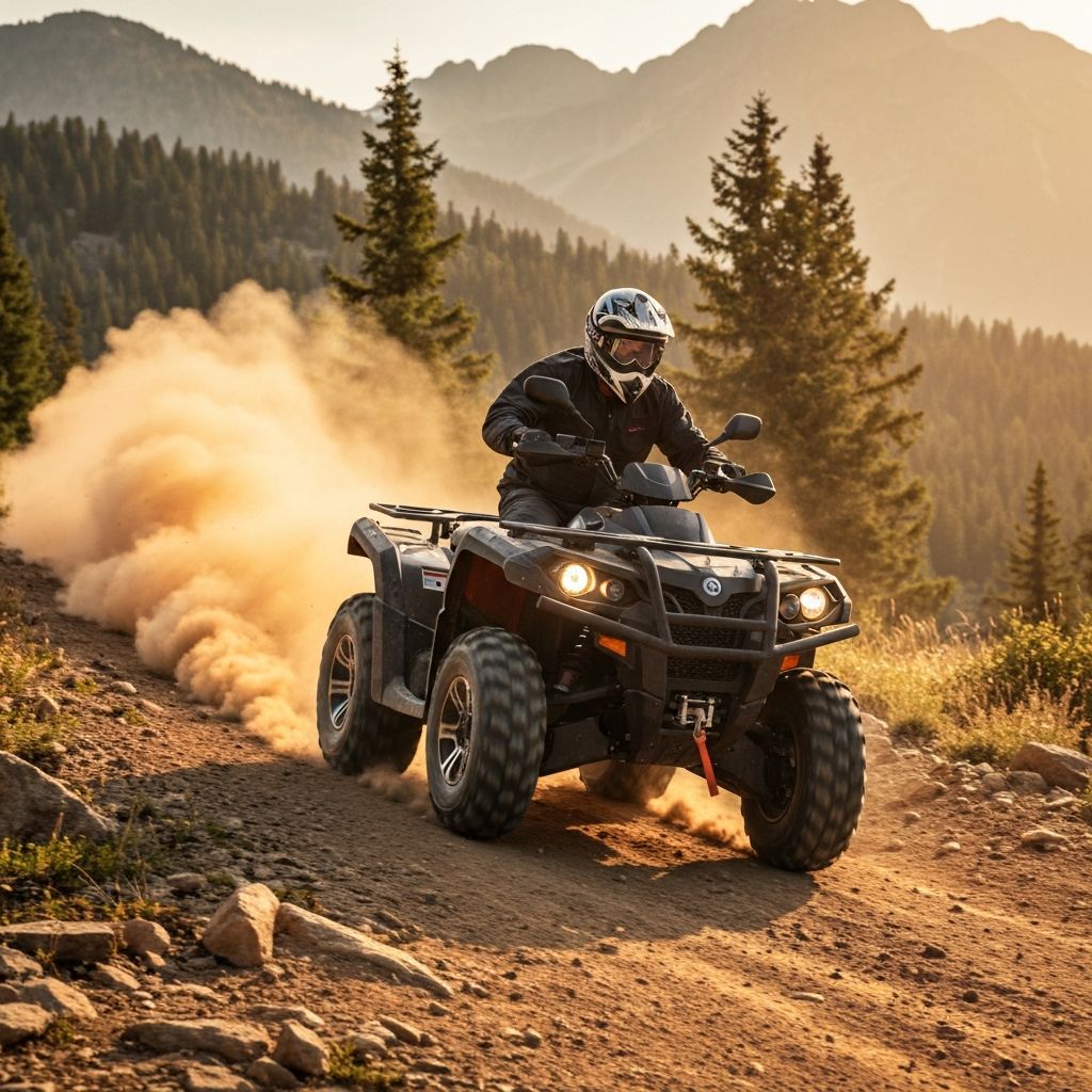
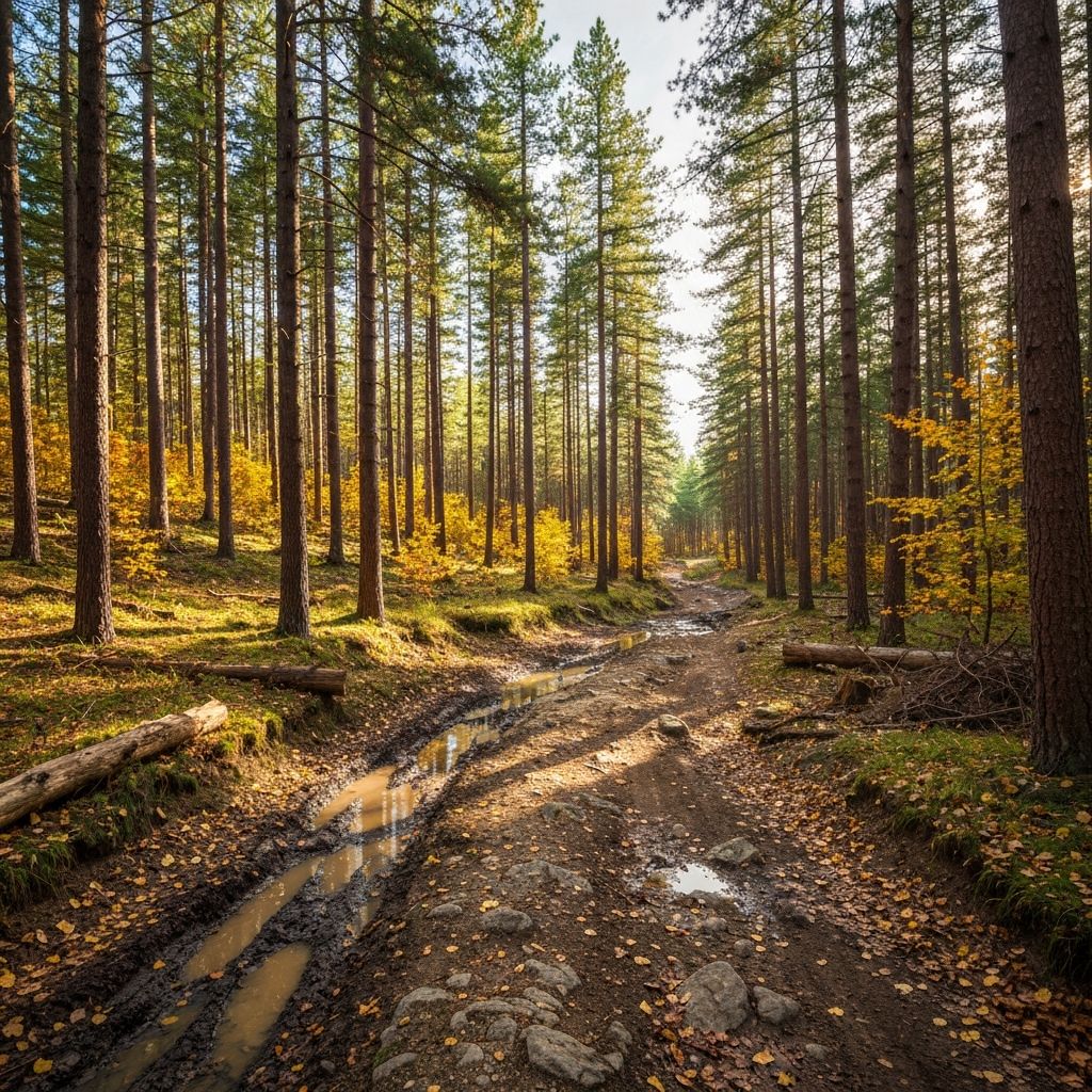
Explore the rangelands and immerse yourself in the pastoral settings of eastern Oregon’s Baker and Malheur counties along the 150-mile Snake River-Mormon Basin Back Country Byway. This byway offers a variety of bucolic rural and backcountry traveling options for your high-clearance two-wheel drive vehicle. The area's high relief is on display in steep canyons, prominent cliffs and massive rock outcrops. The Snake River Canyon high above Brownlee Reservoir has striking color variations included in large basaltic rock outcrops above the Snake River Road, until this road reaches the reservoir, where metamorphic/sedimentary rock is dominant down to the historic hamlet of Huntington. One also sees high, velvety light green hills with many wildflowers in the spring. A wide variety of other natural scenery includes sagebrush plateaus, lush riparian vegetation along waterways. Historic wagon roads traverse the area; ranching, mining, logging, and homesteading occurred throughout the area in the late 1800s. Know Before You Go The byway includes a variety of remote paved, gravel and earthen surface roads so care should be taken in planning your travels after weather events or during the winter season. Recreation opportunities along the byway include cite the play area at Virtue Flats OHV area, fishing, boating, swimming, and water-skiing in the Brownlee Reservoir, wildflowers photography in the Snake River Breaks, horseback riding in Rye Valley, and rafting on the Powder River. On Bureau of Land Management and private lands near the National Historic Oregon Trail Interpretive Center, the visible wagon ruts of the Oregon Trail are being protected and preserved for future generations. Please be respectful of private property as you venture along the byway. Allow for at least five hours of driving time, not including any stops. Point of Interest The Snake River canyons and draws were great hiding places for outlaws, especially on the wilder Idaho side. They could cross the Snake River by rowboat and hide in a cabin in an Idaho canyon, away from the Oregon lawmen. Moonshiners were undisturbed; the locals did not consider it or bootlegging a criminal offense. Counterfeiting also occurred in the canyon draws.
Trail overview
Explore the rangelands and immerse yourself in the pastoral settings of eastern Oregon’s Baker and Malheur counties along the 150-mile Snake River-Mormon Basin Back Country Byway. This byway offers a variety of bucolic rural and backcountry traveling options for your high-clearance two-wheel drive vehicle. The area's high relief is on display in steep canyons, prominent cliffs and massive rock outcrops. The Snake River Canyon high above Brownlee Reservoir has striking color variations included in large basaltic rock outcrops above the Snake River Road, until this road reaches the reservoir, where metamorphic/sedimentary rock is dominant down to the historic hamlet of Huntington. One also sees high, velvety light green hills with many wildflowers in the spring. A wide variety of other natural scenery includes sagebrush plateaus, lush riparian vegetation along waterways. Historic wagon roads traverse the area; ranching, mining, logging, and homesteading occurred throughout the area in the late 1800s. Know Before You Go The byway includes a variety of remote paved, gravel and earthen surface roads so care should be taken in planning your travels after weather events or during the winter season. Recreation opportunities along the byway include cite the play area at Virtue Flats OHV area, fishing, boating, swimming, and water-skiing in the Brownlee Reservoir, wildflowers photography in the Snake River Breaks, horseback riding in Rye Valley, and rafting on the Powder River. On Bureau of Land Management and private lands near the National Historic Oregon Trail Interpretive Center, the visible wagon ruts of the Oregon Trail are being protected and preserved for future generations. Please be respectful of private property as you venture along the byway. Allow for at least five hours of driving time, not including any stops. Point of Interest The Snake River canyons and draws were great hiding places for outlaws, especially on the wilder Idaho side. They could cross the Snake River by rowboat and hide in a cabin in an Idaho canyon, away from the Oregon lawmen. Moonshiners were undisturbed; the locals did not consider it or bootlegging a criminal offense. Counterfeiting also occurred in the canyon draws.
Location
Baker City, Oregon, United States
Address
Baker City, Oregon, United States
Trail details
Before you ride
More Trails